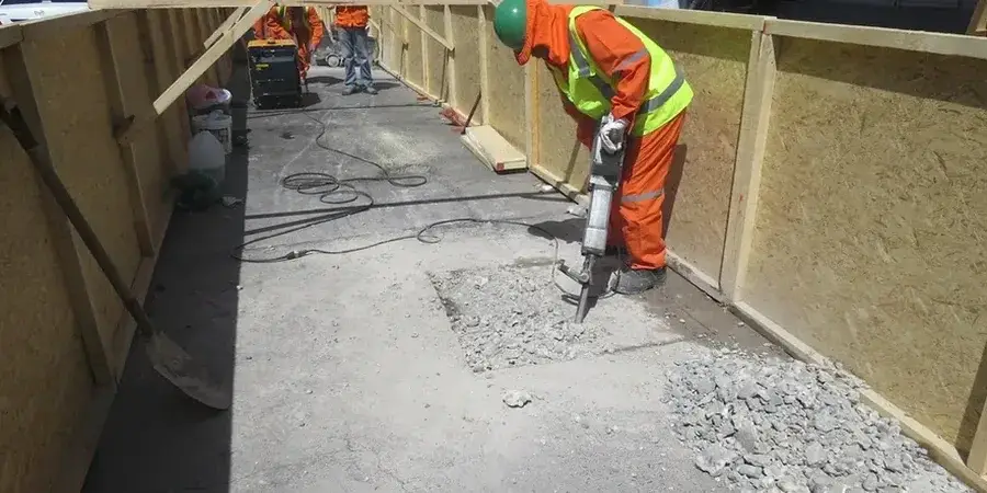
St. John's grew from a tight harbor settlement into a city spread across steep, glacially-scoured ridges. The downtown core sits on Ordovician shale and sandstone of the Bell Island Group, but most residential expansion now occupies till-covered slopes and valleys where soil thickness varies from zero to over fifteen meters. Every new construction project east of Kenmount Road confronts this reality: bedrock depth changes dramatically within a single block. Our seismic microzonation work integrates borehole shear-wave velocity profiles with surficial geology maps from the Geological Survey of Newfoundland and Labrador to produce site class boundaries that reflect actual ground conditions, not just regional proxies. When a site lies within the transition zone between Site Class C and D—common along Waterford River—we often run a MASW survey to resolve the Vs30 value directly and avoid conservative assumptions that inflate foundation costs.
Site amplification in St. John's depends more on the thickness and stiffness of glacial drift than on distance to the nearest fault—two adjacent lots can sit in different seismic site classes.