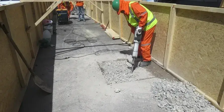
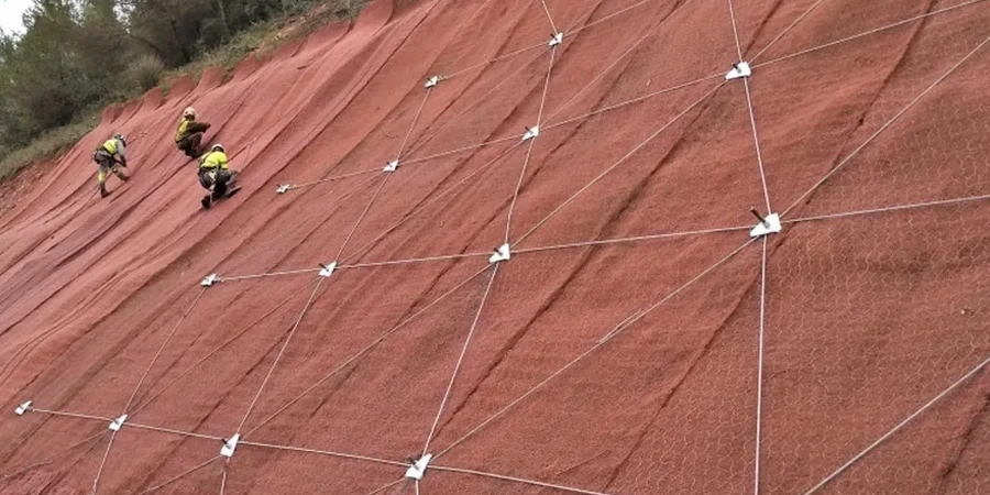
St. John's grew out of a rugged harbor, not a flat plain, and centuries of development have pushed roads and foundations onto slopes that demand real geotechnical attention. The city's distinctive row houses climb Signal Hill and cling to the Southside Hills, often resting on thin glacial till over steeply dipping shale and sandstone bedrock. Combine that topography with saturated marine clays left by postglacial sea-level changes, and you get slope conditions that shift with every freeze-thaw cycle and nor'easter. The St. John's building permit process increasingly requires a slope stability analysis before approving construction near grade changes greater than 1.5 meters. Our team knows the local geology intimately—from the clifftop subdivisions of Outer Battery to the valley-side lots along Rennie's River. We deliver analyses that the City's engineering department accepts because we ground every recommendation in site-specific data, not generic assumptions. For deeper soil profiling in till-covered sites, we often pair the analysis with test pits to log stratigraphy where access allows.
In St. John's, a slope stability analysis isn't a checkbox—it's what keeps a winter excavation from becoming a spring insurance claim.